Earthquake Hazards
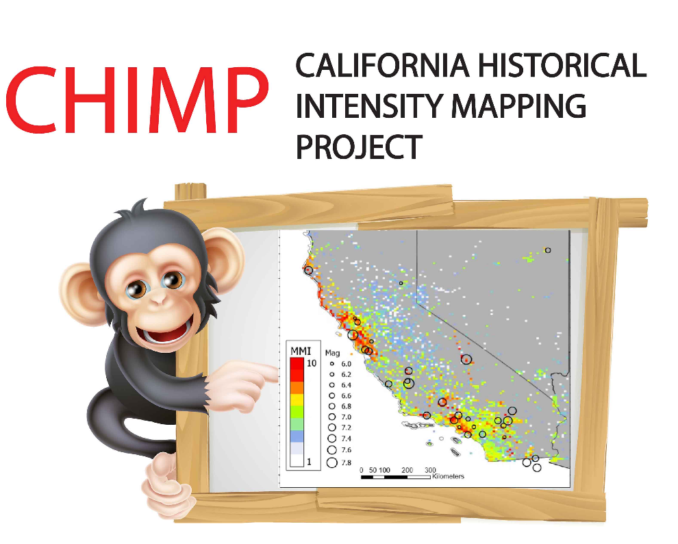
Seth Stein and coworkers are exploring the competency of earthquake hazard maps. These maps forecast the shaking that should occur with a certain probability over a given time. Although such maps are used worldwide to develop codes for earthquake-resistant construction that affect millions of people and billions of dollars, seismologists know little about how well the maps predict the shaking that actually occurs. To explore this question we seek insight from other forecasting applications, like weather forecasting. Weather forecasts are evaluated to assess how well they matched what actually occurred, and develop strategies to improve them. Similarly, we compare shaking at many sites on the map to that predicted. Using this approach, we worked with the United States Geological Survey (USGS) to assess hazard maps for Oklahoma, where most earthquakes result from injecting wastewater from oil and gas production into the subsurface. Overall, the maps did well. We are now developing CHIMP, a dataset of shaking data for the past 160 years for California and surroundings, to explore how well hazard maps performed and how to improve them. Our goal is to help develop policies that make sense for society, given that we have limited resources, limited knowledge about earthquake processes, and thus limited ability to estimate possible future damage.